The City of Augusta began its legal existence as part of Hallowell, and has been named Augusta since June 9, 1797. It became the state capital in 1827, and transitioned from a town to a city in 1849. It is the only municipality in this part of the Kennebec River Valley that is still on both sides of the river.
As reported last week, the first permanent settlement inside Augusta’s present-day boundaries was the 1628 Cushnoc trading post. “Cushnoc,” (also spelled Coussinoc, Cusinok, Koussinoc, Koussinok) is a Native American word for “head of tide.”
In 1754, the Kennebec Proprietors built Fort Western, close to the trading post site on the highland on the east shore of the river.
There were two forts downriver: in Richmond, Fort Richmond, built in 1720 and abandoned in 1755, after the upriver forts were ready; and in Dresden, Fort Frankfort, built in 1752 and soon renamed Fort Shirley. The new name honored William Shirley, governor of Massachusetts from August 1741 to September 1749 and again from August 1753 through September 1756. Fort Shirley was garrisoned until 1759.
Upriver, in present-day Winslow, was Fort Halifax (1754-1766), built by the Massachusetts government at Ticonic (Taconett) falls. James North, in his history of Augusta, quoted Shirley’s April 16, 1754, letter to the Plymouth (aka Kennebec) Proprietors proposing the two forts.
The governor explained that the upriver fort would better protect British settlers from invasion by the French, settled in the St. Lawrence River valley and interested in the Kennebec as a route to Québec, and their Native American allies. The disadvantage was that above Cushnoc, the Kennebec wasn’t deep enough for sloops to bring in supplies.
Shirley said Massachusetts would provide the upriver fort, if the Proprietors would build at Cushnoc a “strong defensible magazine,” consisting of a fenced central building, soldiers’ quarters and two blockhouses. The governor promised – and provided – soldiers to protect the men building the fort.
Maine An Encyclopedia, found on line, says the fort was named in honor of a friend of Shirley’s named Thomas Western, of Sussex, England.
This website says supplies were shipped from Boston to Fort Western as often as four times a year. They were unloaded and “taken by flat-bottomed boat, against a strong river current, to Fort Halifax.”
The two forts were also connected by a road passable for wheeled vehicles that Shirley ordered built along the east bank of the Kennebec. North called it “probably the first military road of any considerable length constructed in Maine.” It was also the first iteration of what is now Route 201.
In the winter, North said, the road couldn’t be used because deep snow filled ravines. At least one winter, soldiers hauled sled-loads of supplies to Halifax on the frozen river.
The British recapture of Louisburg in 1758 and capture of Québec in 1759 led to expulsion of the French from North America, clearing the way for British settlement.
Or, as Captain Charles Nash wrote in his first Augusta chapter in Henry Kingsbury’s Kennebec County history, “Only when the gates of Québec opened to the army of the immortal Wolfe did the valley of the Kennebec become disenthralled from the fatal influences that had for a century delayed its development.”
State House
(British General James Wolfe was only figuratively immortal; readers may remember that he died during the battle for Québec, at the age of 32. The French leader, Louis-Joseph de Montcalm, Marquis de Montcalm de Sainte-Veran, was severely wounded and died the next day, aged 47.)
In 1760, the Massachusetts legislature incorporated Lincoln County, including most of the Kennebec River valley. In 1761, the Plymouth Company commissioned the Winslow survey on both sides of the Kennebec, mentioned last week.
Winslow’s lots North described as in three tiers. Each lot was a mile deep; those on the river were 50 rods (825 feet) wide with an area of 100 acres; the second tier were 150 rods (2,475 feet) wide and 300 acres; and the third tier were 75 rods (1,237.5 feet) wide and 150 acres. Over half were for settlers, the rest reserved for Proprietors.
In 1762, North wrote, settlers began getting grants around the former fort. By 1764, he found, 37 families owned and occupied lots; 10 more were living on land that was granted to them later. He estimated the population at about 100 people.
Among these settlers was Captain James Howard, Fort Western’s commander. He claimed lots for himself and two sons, and he and his family lived and ran a store in the fort’s main building. The other military structures were torn down or allowed to deteriorate.
On the west side of the river, North wrote that in March 1764, Proprietors’ lots were granted, including to a builder named Gershom Flagg the one “upon which the central part of the city of Augusta is now built, from Winthrop to Bridge streets.”
Settlers were required to build a house, clear at least five acres for farming and live seven or eight years (sources differ) on their lots “in person or by substitute.”
With these conditions, North wrote, by April 26, 1771, four towns were populous enough to be incorporated: Hallowell, Vassalboro, Winslow and Winthrop.
* * * * * *
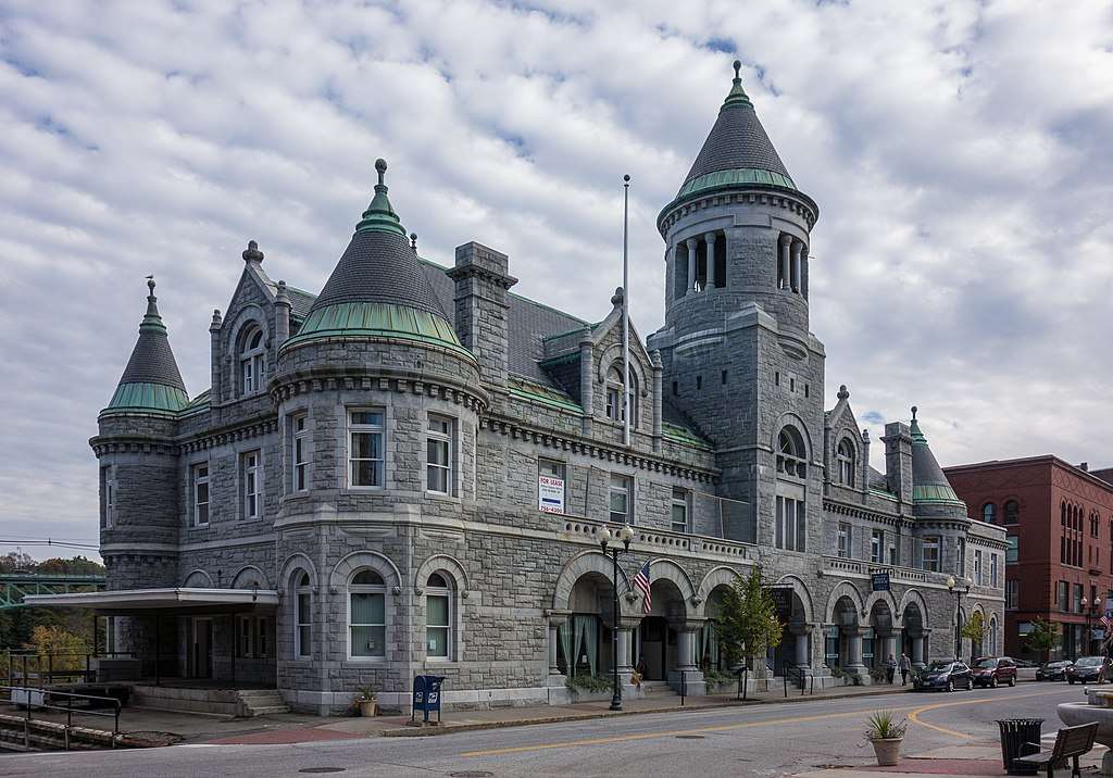
Post Office
The Hallowell of 1771 included all of present-day Hallowell, Augusta and Chelsea and most of Farmingdale and Manchester. Nash said it covered 65,715 acres (or 102.7 square miles) of mostly wilderness; North called it about 90 square miles (which equals 57,600 acres).
It was named after a Proprietor, Boston merchant Benjamin Hallowell. He owned 3,200 acres on the west side of the Kennebec, about three miles south of Fort Western; North said he was “extensively engaged in ship-building.”
By the mid-1770s, Nash wrote, settlers on the west bank of the Kennebec outnumbered those on the east, because of the better soil and more abundant water-power. Discussion of a building for town meetings began in 1777; when a decision was reached in 1781, the meeting house was on the west side of the river, near the foot of present-day Winthrop Street.
On the west side, mills at the mouths of brooks entering the Kennebec created two small population centers, a northern one called the Fort, nearly opposite Fort Western at Bond (or Bond’s) Brook, and another about two miles south called the Hook.
Nash said the Hook was so called because it was at the outlet of Kedumcook (now Vaughan) Brook, in Hallowell. North quoted a 1767 deposition by Colonel William Lithgow saying the British called the area Bombohook, but the Natives called it Kee-dum-cook, referring to the gravel shoals in the Kennebec River at that point.
By the 1790s, Nash wrote, residents of the Hook and the Fort began to disagree about town business. The result of one dispute, over how money raised to pay ministers should be spent, was the June 1794 division of Hallowell into three parishes, South, Middle and North.
In 1791, Hallowell Academy became “the first incorporated institution of learning in the district of Maine.” It was at the Hook. Nash wrote that at the March 16, 1795, town meeting in the meeting house, “the Hook party brilliantly carried an adjournment to the new academy building.”
This meeting Nash called a contest between north and south. North said the Hook people wanted five selectmen, instead of three, and the two communities disagreed over who was qualified to vote. The Fort won on both issues.
Town of Harrington
There is still a Harrington, Maine, in Washington County. It was incorporated June 17, 1797, according to an online source. Harrington’s website says it has a year-round population of 1,004 and is the home town of the Worcester Wreath Company, founder of the nonprofit Wreaths Across America program that puts wreaths on veterans’ graves every December.
By this time, Nash said, the Hook had the Academy, and in 1796 the South Church was built there. The Fort had the “meeting house, court house, jail and post office.” Each settlement had its own newspaper, whose writers “exchanged many a witty and telling repartee.”
The final straw came in 1796, and involved the river.
Until then, public transportation across it was by Pollard’s ferry, which ran from the east shore below former Fort Western to the bottom of Winthrop Street. Many people wanted a bridge; they realized it would be a major expense, even for the entire town; but Fort and Hook residents each wanted it in their village.
In early 1796, the Fort people asked the Massachusetts legislature to approve a bridge in their area. The Hook residents opposed the request.
But, Nash wrote, both Hallowell representatives in the Massachusetts legislature were from the Fort, and on Feb. 8, 1796, the legislature incorporated the Proprietors of the Kennebec Bridge. The act specified that the bridge’s west end be between Pollard’s ferry and Bond Brook.
Nash said Hook residents were depressed and disappointed. The two sides started opposing each other’s candidates for local office and expenditure requests; relations became so bad that separation seemed the only option.
People from the Fort favored division; people from the Hook were “therefore” opposed, Nash wrote. Nonetheless, when the Fort faction presented a petition to the Massachusetts legislature, the Hallowell representative, who was from the Hook, did not fight it.
* * * * * *
On Feb. 26, 1797, the Massachusetts legislature incorporated Hallowell’s middle and north parishes as the town of Harrington. Nash and North wrote that Harrington took almost two-thirds of Hallowell’s territory, which would have been between 60 and 68 square miles (see the differing figures for Hallowell above), and about half its population and property valuation.
(Wikipedia gives Augusta’s current area as 58.04 square miles, citing the United States Census Bureau. In May 1798, Harrington’s population was 1,140. In 2022, Augusta’s was 19,066.)
The name, Nash said, honored Lord Harrington, “a favorite courtier and honored minister of [King] George the Second.” Around 1730, an earlier royal commissioner had given the name to “ancient Pemaquid” (now Bristol). North said resident and legislative representative Amos Stoddard resurrected it in 1797; neither historian explained why.
Harrington voters held their organizational meeting April 3, 1797, electing officials and appropriating funds for roads, schools, support of the poor and other essentials. However, Nash wrote, the town’s name was “exceedingly unacceptable to the people,” who directed the selectmen to get it changed forthwith.
The selectmen accordingly petitioned the Massachusetts legislature to change Harrington to Augusta, and on June 9, 1797, their petition was granted. Nash said official documents give no reason for the anti-Harrington movement or the substitution of Augusta, but he offered his surmises.
In the 1790s, he said, Cushnoc was a place to catch migratory fish, including blackback herring and alewives, collectively known as river herring. Hook residents easily turned Harrington into Herring Town, leading upriver people to want a name “less susceptible to profane travesty.”
Augusta, he said, had (like Harrington) been used earlier, in 1716, for part of what is now Phippsburg. He called it “more than probable” that memory of that settlement suggested the “half romantic name…which the satirical neighboring humorists could not successfully ridicule.”
The bridge that apparently triggered the creation of Harrington/Augusta opened in November 1797.
Main sources
Kingsbury, Henry D., ed., Illustrated History of Kennebec County Maine 1625-1892 (1892).
North, James W., The History of Augusta (1870).
Websites, miscellaneous.
Responsible journalism is hard work!
It is also expensive!
If you enjoy reading The Town Line and the good news we bring you each week, would you consider a donation to help us continue the work we’re doing?
The Town Line is a 501(c)(3) nonprofit private foundation, and all donations are tax deductible under the Internal Revenue Service code.
To help, please visit our online donation page or mail a check payable to The Town Line, PO Box 89, South China, ME 04358. Your contribution is appreciated!
https://townline.org/wp-content/uploads/2016/06/TownLineBanner.jpg00Mary Growhttps://townline.org/wp-content/uploads/2016/06/TownLineBanner.jpgMary Grow2024-05-29 14:25:452024-05-29 14:25:45Up and down the Kennebec Valley: City of Augusta
0replies
Leave a Reply
Want to join the discussion? Feel free to contribute!


Leave a Reply
Want to join the discussion?Feel free to contribute!