Leaving behind a legacy of KIND: the back story
Rémy Joel Pettengill is the amazing soul behind the saying, Leaving Behind a Legacy of KIND. On December 30, 2022, the day after Rémy’s 17th birthday, his family was forever changed. Tragically, the vehicle he was a passenger in, was hit from behind at highway speed. While his three friends were released from the hospital, Rémy remained in the neuro-ICU. On January 7, 2023, he left this world a hero, with his family by his side, by saving the lives of four people via organ donation – a choice he had made when he earned his driver’s license.
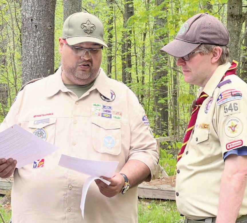
At a very young age, Rémy showed his heart of gold. He was always looking out for fellow students and even wrote a letter to Santa asking for warm blankets and camping stoves for the unhoused. He also had a keen sense of when a person needed a little extra. Rémy shared his kindness in a variety of ways and within a variety of settings. Rémy was active in the local scout group, Troop #479, in China. He became an Eagle Scout at 13 years old after completing a service project to benefit the local veterans. Rémy was passionate about helping others.
Rémy was a natural born leader. He completed National Youth Leadership Training and became a member of Order of the Arrow – Madockawanda Lodge (scouting’s honor society). He became the troop’s senior patrol. leader and mentored younger scouts, always looking out fot those who needed a little more. He worked at Camp Bomazeen and volunteered with the Bomazeen Old Timers to help run summer camp for Cub Scouts and Scouts. Rémy’s compassion for others and the desire “to make a difference” (his words) led him. to Pine Tree Camp, in Rome. He was an overnight counselor, lifeguard, and adaptive archery instructor. Rémy thrived there, becoming even more of a leader, developing a greater sense of self and ways to celebrate those who had varying abilities.
The scouting Eagle Scout Mentor pin is given by a scout at their Eagle ceremony to a person that has had a significant impact on helping them achieve this honorable rank. In the over 15 years the family has been involved in scouting (all three of the sons are Eagle Scouts), the family has only seen two of these pins presented to another active Scout. Generally they are given to an adult who has provided guidance along the way. Rémy was the scout who received both of these. An official Boy Scouts of America uniform patch was even created in his memory.
Rémy was a student at Erskine Academy, in South China,class of 2024. He was a member of the track team and was inducted into the National Honor Society at Erskine Academy. He also attended the Capital Area Technical Center’s law enforcement program. In addition, he helped coach his younger brother’s middle school track team. A community initiated scholarship was established in 2023 to honor Rémy. This scholarship is awarded annually to a graduating Erskine Academy senior pursuing high er education at a two or four-year degree program, trade school or apprenticeship. The award is not based on academics or financial need but rather is awarded to a good all-around person who exemplifies Rémy’s qualities of kindness, friendship and helpfulness to others.
Along with his giving spirit, Rémy was a typical child and young man. He loved to joke, laugh, create joy around him – even with some mischief thrown in. He loved music, reading, Legos, and spending time with friends. School was often a social event for Rémy. He was always up for an adventure and fun time which often took precedence over chores or homework. There were many late nights spent ensuring Rémy had completed his school assignments.
Those who knew him will remember his abundance for fun and “crazy” socks. He wore them to school, during track meets, and in the community. In keeping with Rémy’s giving spirit, the family decided to collect some “crazy socks” at this celebration of life thinking they would collect a hundred or so pairs that they would. then donate. Hundreds of people arrive, most wearing crazy socks, and over 7,500 pairs of socks were collected. These socks were donated to various organizations (including community food pantries, community outreach programs, school/community college student clothing pantries, veterans’ organizations, homeless/emergency shelters, etc.) in his memory so he can continue to do what he has always done since he was a very young child – care for and help those in need.
The family decided to carry on the tradition in Rémy’s honor each October and in 2023 joined energies with JMG locally for “Socktober”. Rémy’ had experienced JMG firsthand at China Middle School. Recognizing that socks are a necessary item that is not often donated, Socktober is a community outreach and awareness project filled with compassion that collects new pairs of socks tobe donated to local and statewide organizations. JMG students are learning about community engagement, outreach, advertising, organizational skills, and most of all, the importance of supporting one’s community.
Each day Rémy walked this Earth, he greeted friends and strangers with a smile. He was a voice for those who could not find their own, he protected the weak, he championed the underdog, and he helped those in need. Leaving Behind a Legacy of KIND is more than a slogan or a title. It represented a life lost too soon, a soul who cares deeply about others, and a youngman who gave with all his heart. The hands in the logo were actually made from a picture of Rémy. In his short 17 years of life, he encouraged others, made others feel values, lived life to its fullest, and ensured everyone he met had a least one friend. He was a beacon of kindness and a selfless giver.
The family hopes you can assist in collecting socks for those who need them this October or assist by sharing his initiative. Socktober is a meaningful way to pass Rémy’s torch forward and strengthen Maine communities. Every pair of socks donated or every smile shared is a step towards making a positive impact impact on the world around us – each step starts with us. Please help to continue Rémy’s legacy of kindness. Share a smile with those you know and those you don’t, hold the door open for. someone, lend a helping hand, look out for those who don’t have the courage to stand tall and give to those in need. Live life to its fullest, love with all your heat, and wear crazy socks.
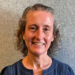
Presented by Danielle Pettengill, (Aiden, Rémy and Bryson’s mom).


 To the editor:


