Up and down the Kennebec Valley: How towns cared for the poor
by Mary Grow
China concluded and Albion
This article is the third of four that will talk about how central Kennebec Valley towns took care of their destitute residents, when welfare was a local responsibility.
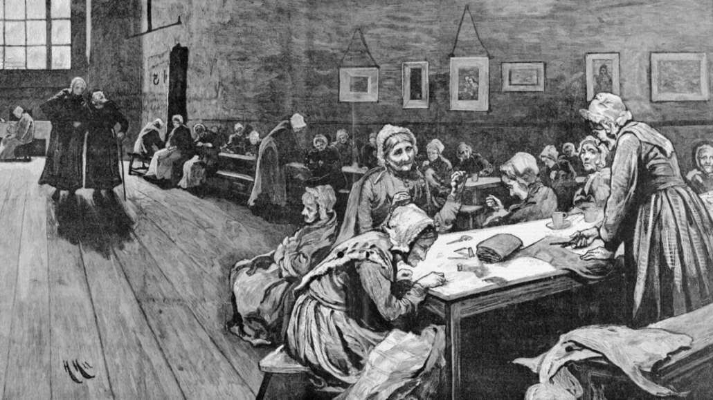
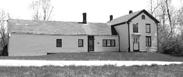
Last week’s piece summarized actions in China from the 1820s into the 1870s, when the poor farm on the east shore of China Lake housed many of the town’s paupers (some were still bid out or assisted as they lived with family members). In the 1870s, the China bicentennial history says, there were often 20 or more people living on the farm, “many of them too old or too ill to help with the work.”
The farm superintendent was usually paid $300 (in 1874, $325) annually. Building maintenance was, or should have been, an ongoing expense. The history quotes from the March 1873 report of selectmen Alexander Chadwick, John Hamilton and Caleb Jones: they called the farm’s house “wholly unfit,” as it was “very cold and void of nearly every convenience which the wants of the inmates and those who have charge of them demand.”
The farm itself was “very much run out,” so that crops were small and income inadequate, they wrote.
They concluded: “The poor are a class of unfortunate beings who are entitled to our warmest sympathies, and demand from us all respect and kindness, and we believe it is a duty which we owe to them and to God, to provide them with comfortable homes and render them as happy as we possibly can.”
Unmoved, voters at the March 1873 town meeting rejected an appropriation to work on the buildings. In 1876, the history says, town records show $161.87 spent on repairs; but in 1877 voters refused to allocate more money to finish the work.
Through the rest of the century the farm hung on, with fewer residents – only half a dozen for much of the 1890s. The superintendent’s pay went down to $200 a year in 1880 and 1890.
The history lists minor upgrades, like a new cookstove in 1887, and building repairs in 1895 and 1900. In 1908, “a well was sunk at the south end of the barn, finally providing an abundant water supply.”
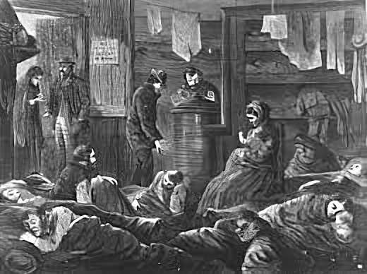
Town reports indicated that the farm also provided overnight lodging and meals for tramps passing through China.
The China history documents an incident that appears to indicate that not all poor China residents wanted to live on the town farm. Voters at the town meeting in March 1881 agreed to reimburse selectmen Elihu Hanson and Francis Jones for their expenses “defending themselves against an assault and battery charge brought by a town pauper, Mary Coro, ‘while in the discharge of their official duties as Overseers of the Poor in removing her to the poor house.'”
For much of the early 20th century China officials rented out the poor farm, at least part of the time with the understanding that if a pauper needed to live there, the tenant would take care of him or her.
A February 1911 report listed “$482.75 worth of livestock, supplies and equipment on the farm.” But, selectmen said, two of the three residents in 1909 had died and the third had left Maine, and no one had moved in during 1910. They suggested town meeting voters consider a change.
At the March 1920 town meeting, voters finally approved selling the farm. Carrol Jones bought it for $2,000 in April.
Associated with the town farm was a cemetery, which the bicentennial history says was “(probably) always a town-owned burying ground.” In the cemetery, in 1975, were the headstone of John Chase, who died June 19, 1839, at the age of 38, “an initialed footstone, and many fieldstones.”
In the 1890s, China’s town farm superintendent “acquired a new responsibility,” the bicentennial history says. The March 1891 town meeting authorized selectmen to buy a town hearse and to build a hearse house, giving them $700 for the project.
Selectmen decided to put the town farm superintendent in charge of the hearse, and they had the hearse house built on the farm. The hearse cost $500, the building $170.39, according to the history.
In 1892, the town earned $15 “for letting the China hearse be used out of town.” What became of the hearse is unstated; the building was part of the farm when Carrol Jones bought it in 1920.
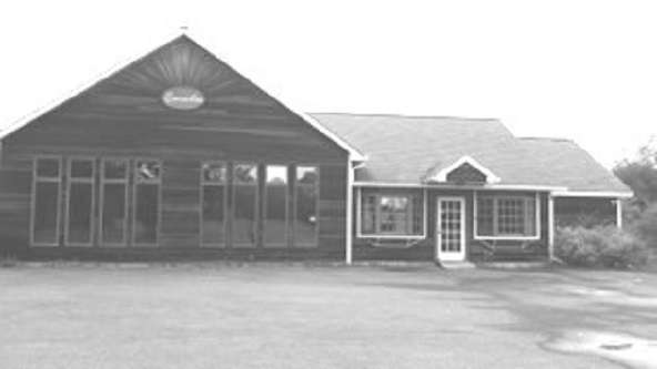
Jones stored his farm machinery in the building for a while before he gave it to “his daughter and son-in-law, Mr. and Mrs. William Nye, who turned it into a summer cottage.” The cottage was still in use when the history was published in 1975.
* * * * * *
Moving north to Albion, Ruby Crosby Wiggin found that in 1804, voters appropriated $1,200 for roads, $200 for schools and an amount she did not list for “the support of the poor and other town charges.” (If this sentence sounds familiar, it might be because Augusta voters took similar action at a 1797 town meeting, as was reported in the first article in this series.)
Albion voters began bidding out the poor in 1810, Wiggin wrote, during a period of hard times, when newly-built roads were discontinued and produce instead of money was accepted in payment of taxes. In one case, a man agreed to take care of a widow “for $8.00 and the use of her cow for one year.”
Wiggin did not mention paupers again until she excerpted from the 1868 town report. It included, she said, a report that “doctoring the town poor” for a year had cost voters $3.25.
She continued: “Either they were a healthy lot or the Doctor didn’t receive much for each call. We might conclude that there weren’t many poor people, but since the town had maintained a town farm for several years, there must have been a few of them.”
Wiggin gave no more information about the town farm, but Henry Kingsbury devoted a paragraph to it in his 1892 Kennebec County history. He wrote that about 1858, after the poor had been “cared for by individual contract” (presumably since soon after the town was incorporated as Fairfax in 1804), town officials bought a farm “on the Bessey road, three miles south of the Corner.”
The farm had been settled by Solomon Bessey around 1810 and by the 1850s belonged to his nephew, William Bessey. Kingsbury wrote that the initial purchase was 160 acres; later sales and acquisitions made it about 170 acres by 1892.
Bessey Road, now called Bessey Ridge Road, runs south from Routes 202 and 137 to Libby Hill Road, in the southern part of town. An 1879 map of Albion, in the atlas of Kennebec County, shows the town farm on the east side of the road about half-way along. On the same side of the road, C. H. Chalmers lived north of the town farm and H. B. Bessey south; A. Bessey’s property was on the west side about half-way between the town farm and H. B. Bessey.
Albion went through at least two town hearses, according to Wiggin’s history. The earlier was “simply a wooden box on wheels” that was allowed to rot “out back of the hearse house” (wherever that was). Blacksmith Benjamin Abbott bought the “wheels, axletree and tongue” in February 1886 for $16.
By then, Albion had a new hearse, thanks to an 1884 spending spree: in that one year, town officials bought a $200 road machine and a $450 hearse. The hearse, made by Cooper Brothers in Searsmont, was “a beautiful thing,” Wiggin wrote, with shiny black paint, nickel trim and tasseled window curtains.
Its custodian, Bert Skillins, drove “a pair of dapple gray horses that were as spic and span and tasseled as the hearse itself.”
According to Wiggin, as residents admired the new hearse, one commented that “he hoped no one would kill himself just for the sake of riding in it.” Yes, Wiggin wrote: “The first occupant was a suicide victim.”
Main sources
Grow, Mary M., China Maine Bicentennial History including 1984 revisions (1984).
Halfpenny, H. E., Atlas of Kennebec County Maine 1879 (1879).
Kingsbury, Henry D., ed., Illustrated History of Kennebec County Maine 1625-1892 (1892).
Wiggin, Ruby Crosby, Albion on the Narrow Gauge (1964).
Websites, miscellaneous.


